
Exhibition: "Putting the U.S. Southeast on the Map"
When: October 29- November 30, 2013
Where: Stubbins Gallery, College of Architecture, Georgia Institute of Technology, (245 4th Street, Atlanta, GA 30332)
Opening Reception on October 29 at 6:00 pm
Where: Stubbins Gallery, College of Architecture, Georgia Institute of Technology, (245 4th Street, Atlanta, GA 30332)
Opening Reception on October 29 at 6:00 pm
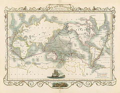
Presenting a unique selection of 18th and 19th century maps of the U.S. Southeast, this exhibition invites the public to explore the private archives of the French Ministry of Foreign Affairs.
In conjunction with the map exhibition, two projects involving the Atlanta community will offer a contemporary exploration of the antique maps, focusing on time, space, and identity. First, local artists will be paired up with maps from the exhibition to present their own interpretation of the work in question. Then, local students will have the same opportunity to use the maps as inspiration for self-expression.
This event is presented with the support of: